|
|
| 5728 LBJ FREEWAY STE 220 |
|
| DALLAS , TX 75240 |
|
| Property
Location Address |
|
| Parcel
ID No. |
3723202179.000 |
| PIN |
3723 20 2179 000 |
| Owner ID |
1128286 |
| |
|
| Tax
District |
31 - C/CIWI-WILSON |
| |
| Land Use Code |
61 |
| Land Use Desc |
TOWNHOUSE APARTMENT |
| |
|
| Neighborhood |
8326 - TILGHMAN_RA-6 |
|
| Legal
Desc |
3344 WARD BLVD |
| |
4.97AC |
| |
|
| Deed
Year Bk/Pg |
2022 - 2981 / 651 |
| Plat
Bk/Pg |
/ |
| |
Sales
Information |
| |
| Grantor |
WEIGLE BEVERLY POWELL CLARENCE |
| |
WEAVER JANIE ETAL |
| Sold
Date |
2022-08-31 |
| Sold
Amount $ |
41,000,000 |
|
| |
| Market Value $ |
2,093,441
|
| |
|
Market
Value - Land and all permanent improvements,
if any, effective January 1, 2024, date
of County’s most recent General Reappraisal
|
|
| |
|
| Assessed Value $ |
2,093,441
|
| |
If
Assessed Value not equal Market Value then
subject parcel designated as a special
class -agricultural, horticultural, or
forestland and thereby eligible for taxation
on basis of Present-Use.
|
|
|
| Year
Built |
1974 |
| Built
Use/Style |
APARTMENT- TOWNHOUSE |
| Grade |
C / C GRADE |
| * Percent
Complete |
100 |
| Heated
Area (S/F) |
9,240 |
| Fireplace
(Y/N) |
N |
| Basement
(Y/N) |
N |
| ** Bedroom(s) |
0 |
| ** Bathroom(s) |
0 Full Bath(s) 0 Half Bath(s) |
| *** Multiple
Improvements |
010 |
*
Note - As of January 1
*
* Note - Bathroom(s), Bedroom(s), shown for description
only
* * * Note - If multiple improvements equal “MLT” then
parcel includes additional major improvements |
|
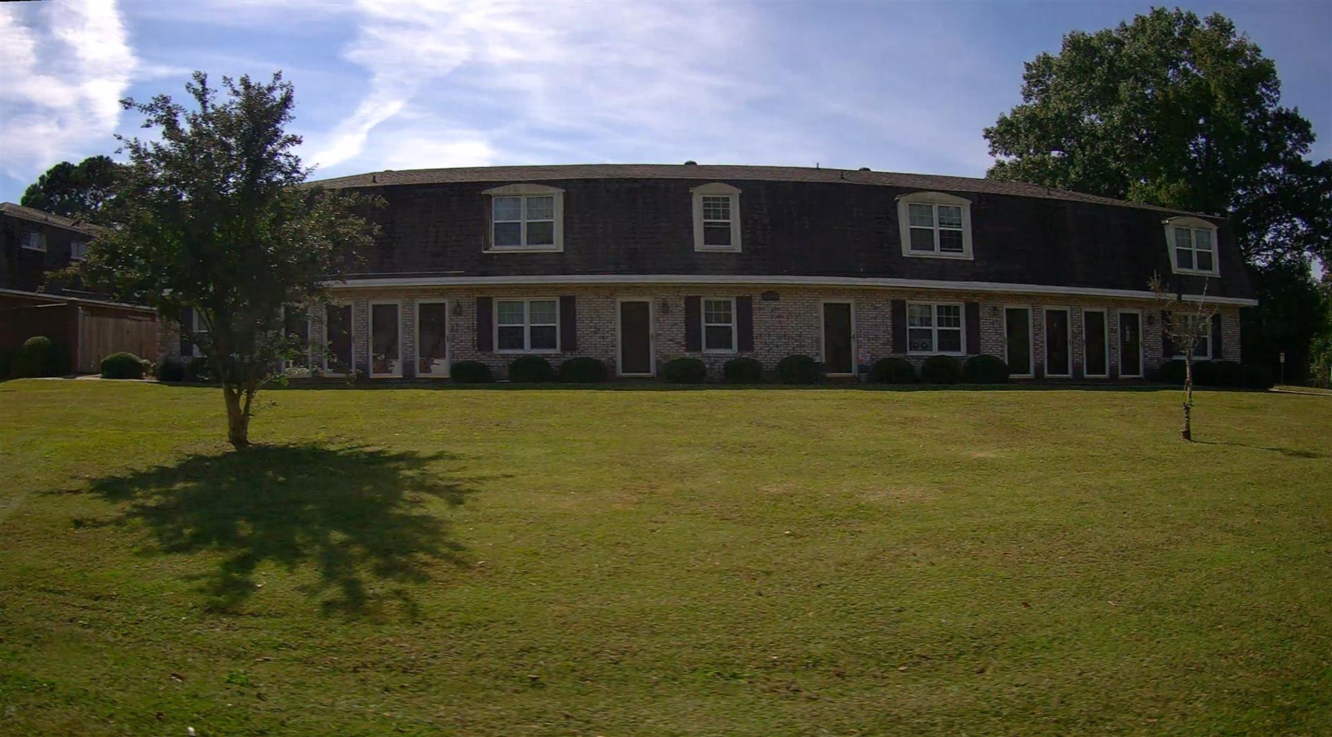
| Photo |
Photo 1
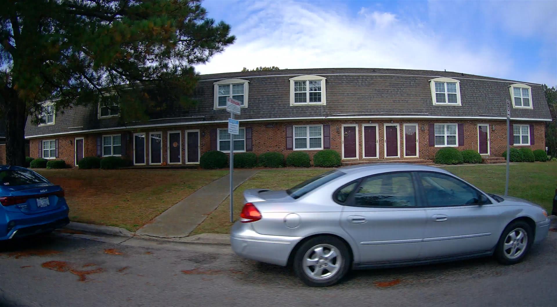 Photo 1
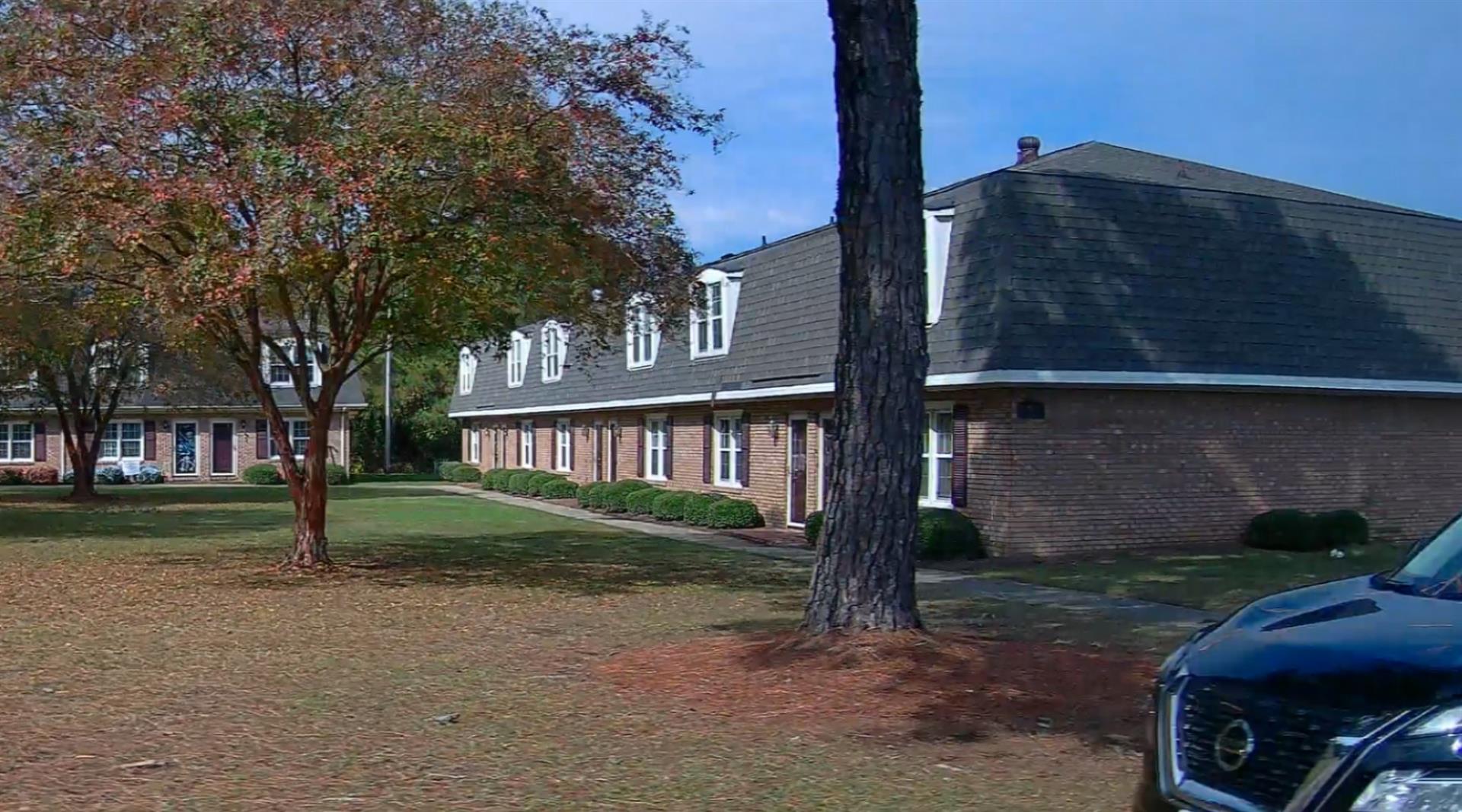 Photo 1
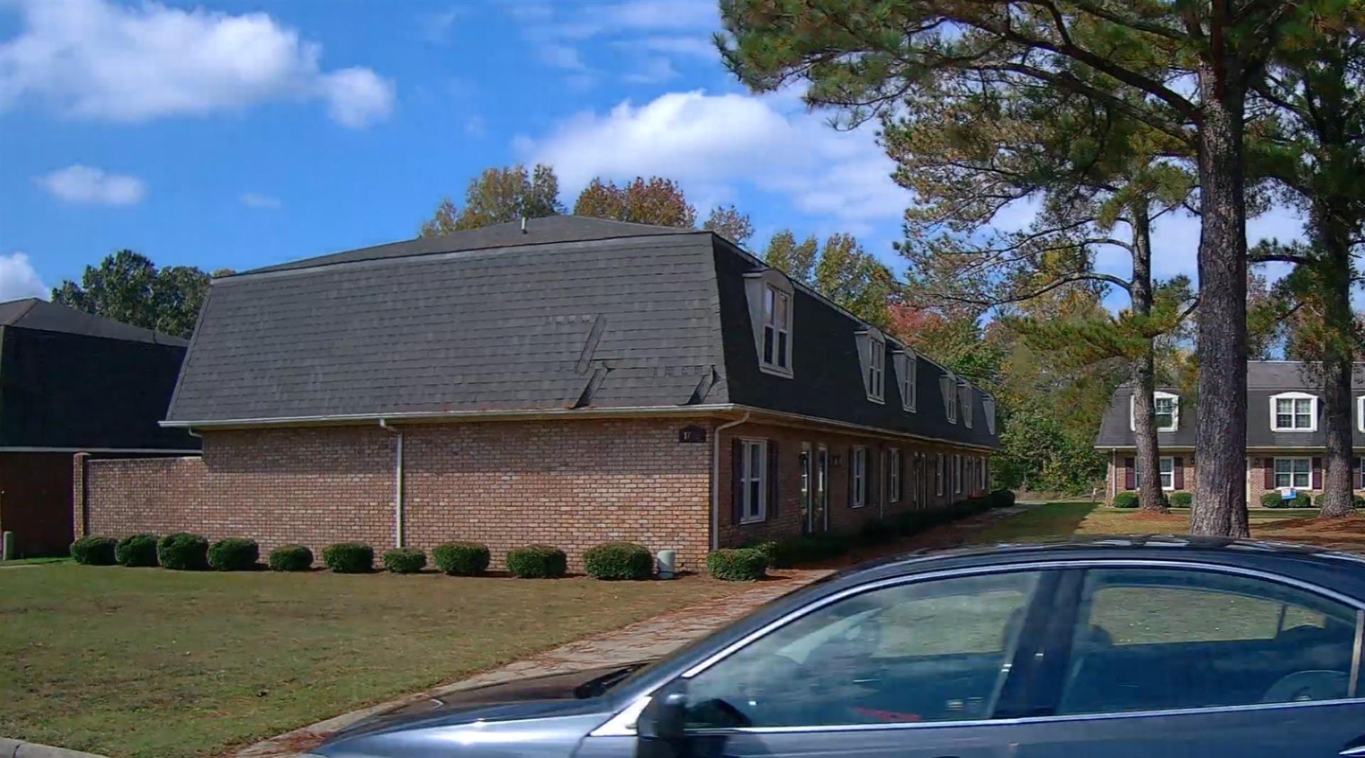 Photo 2
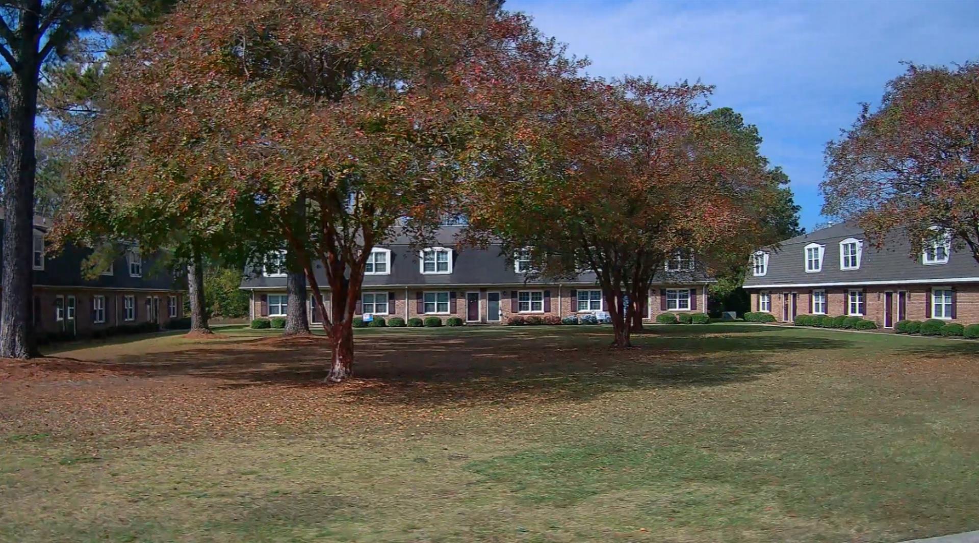 Photo 1
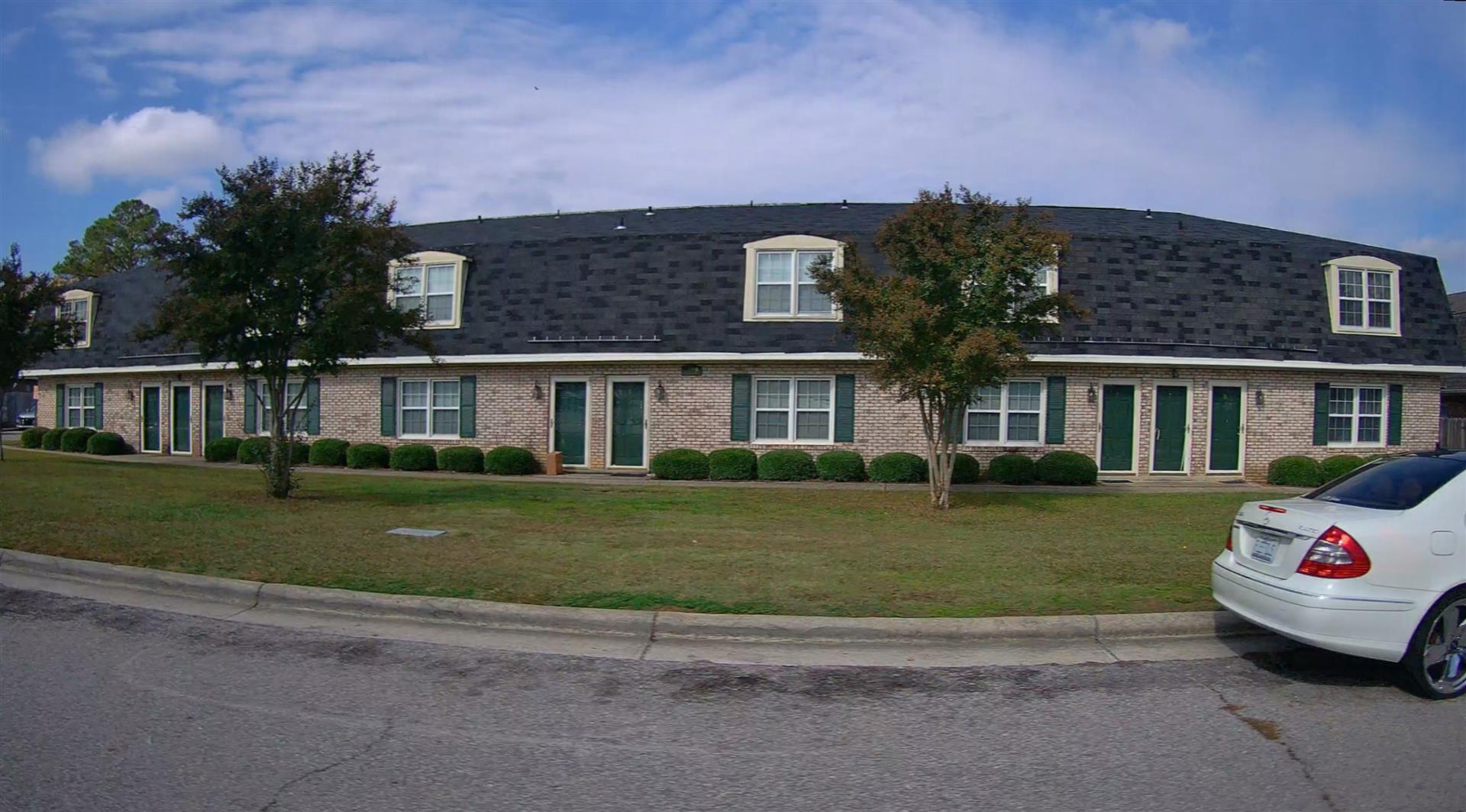 Photo 1
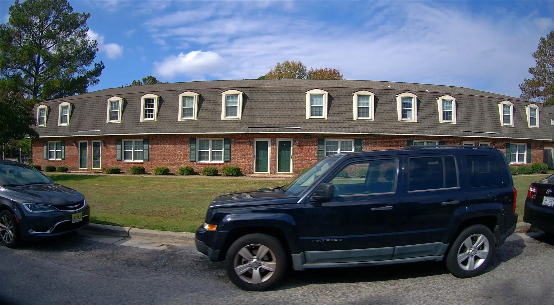 Photo 1
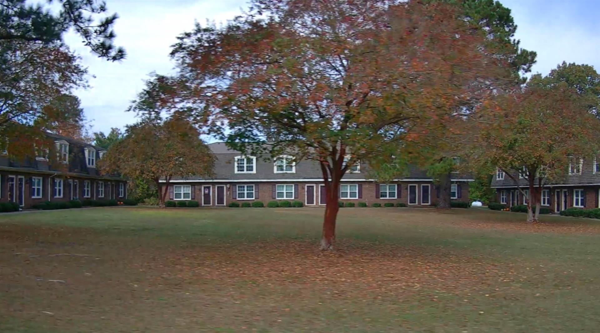 Photo 1
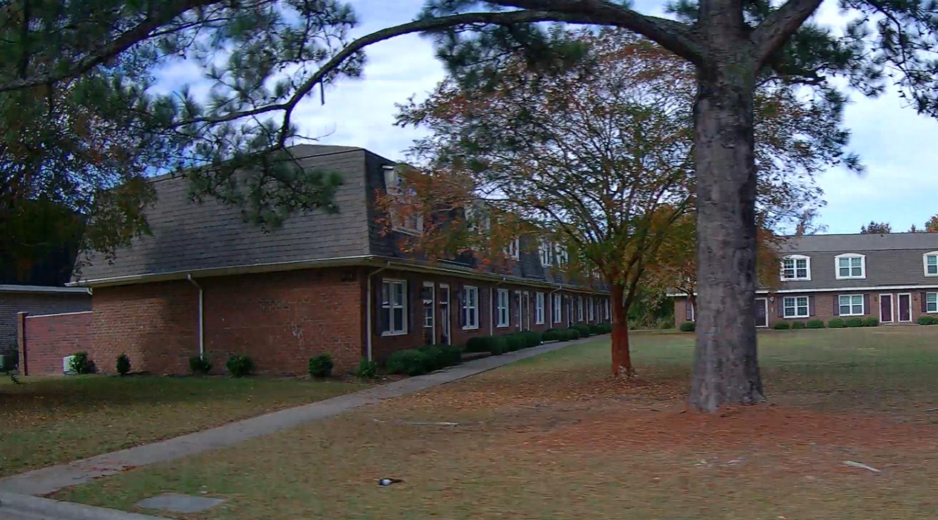 Photo 1
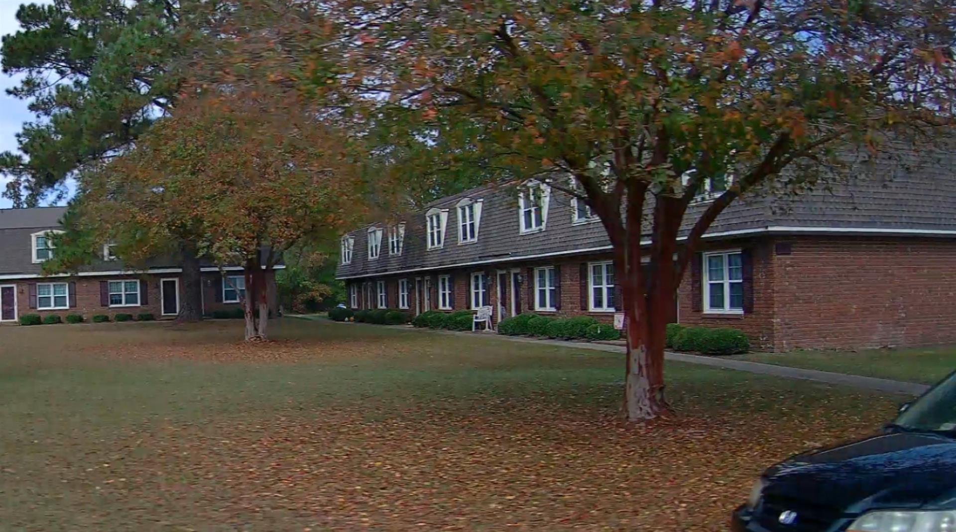 Photo 1
|
|
| Building
Sketch - NOTE: Sketches are updated the first day of every month. |
|
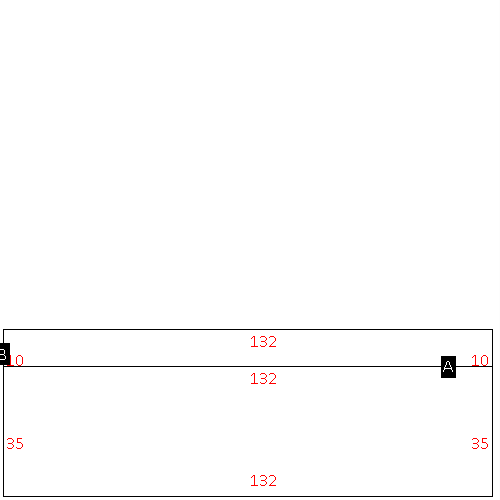
(Building 1) - Sketch for Parcel ID: 3723202179.000
NOTE: Sketches are updated the first day of every month.
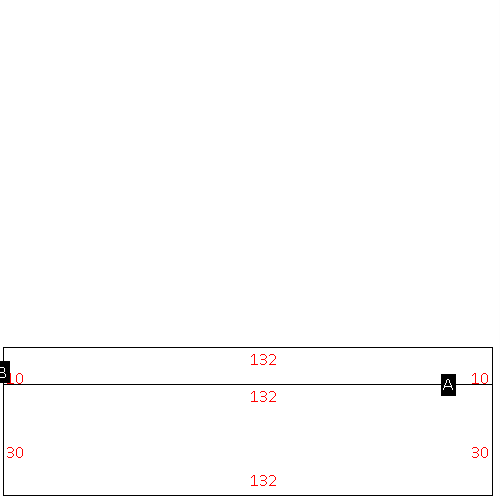 |
| Label |
Description |
Base SF |
Total SF |
| A |
APT-TOWNHOUSE |
3960.00 |
7920.00 |
| B |
PATIO-CONC |
1320.00 |
.00 |
|
|
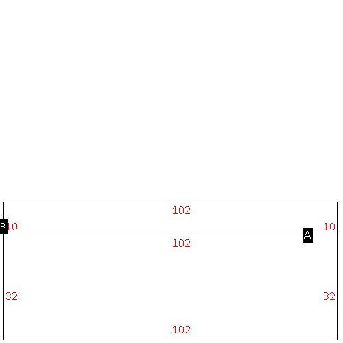
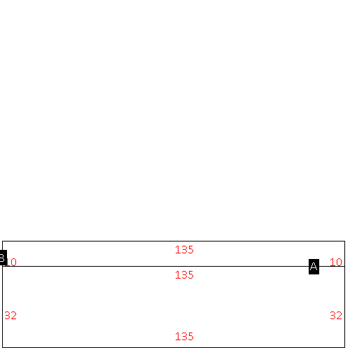
(Building 2) - Sketch for Parcel ID: 3723202179.000
NOTE: Sketches are updated the first day of every month.
 |
| Label |
Description |
Base SF |
Total SF |
| A |
APT-GARDEN |
4620.00 |
9240.00 |
| B |
PATIO-CONC |
1320.00 |
.00 |
|
|
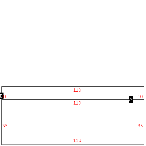
(Building 3) - Sketch for Parcel ID: 3723202179.000
NOTE: Sketches are updated the first day of every month.
 |
| Label |
Description |
Base SF |
Total SF |
| A |
APT-TOWNHOUSE |
3264.00 |
6528.00 |
| B |
PATIO-CONC |
1020.00 |
.00 |
|
|
(Building 4) - Sketch for Parcel ID: 3723202179.000
NOTE: Sketches are updated the first day of every month.
 |
| Label |
Description |
Base SF |
Total SF |
| A |
APT-TOWNHOUSE |
4620.00 |
9240.00 |
| B |
PATIO-CONC |
1320.00 |
.00 |
|
|
(Building 5) - Sketch for Parcel ID: 3723202179.000
NOTE: Sketches are updated the first day of every month.
 |
| Label |
Description |
Base SF |
Total SF |
| A |
APT-TOWNHOUSE |
4620.00 |
9240.00 |
| B |
PATIO-CONC |
1320.00 |
.00 |
|
|
(Building 6) - Sketch for Parcel ID: 3723202179.000
NOTE: Sketches are updated the first day of every month.
 |
| Label |
Description |
Base SF |
Total SF |
| A |
APT-TOWNHOUSE |
4320.00 |
8640.00 |
| B |
PATIO-CONC |
1350.00 |
.00 |
|
|
(Building 7) - Sketch for Parcel ID: 3723202179.000
NOTE: Sketches are updated the first day of every month.
 |
| Label |
Description |
Base SF |
Total SF |
| A |
APT-TOWNHOUSE |
3264.00 |
6528.00 |
| B |
PATIO-CONC |
1020.00 |
.00 |
|
|
(Building 8) - Sketch for Parcel ID: 3723202179.000
NOTE: Sketches are updated the first day of every month.
 |
| Label |
Description |
Base SF |
Total SF |
| A |
APT-GARDEN |
4320.00 |
8640.00 |
| B |
PATIO-CONC |
1350.00 |
.00 |
|
|
(Building 9) - Sketch for Parcel ID: 3723202179.000
NOTE: Sketches are updated the first day of every month.
 |
| Label |
Description |
Base SF |
Total SF |
| A |
APT-TOWNHOUSE |
4320.00 |
8640.00 |
| B |
PATIO-CONC |
1350.00 |
.00 |
|
|
(Building 10) - Sketch for Parcel ID: 3723202179.000
NOTE: Sketches are updated the first day of every month.
 |
| Label |
Description |
Base SF |
Total SF |
| A |
APT-GARDEN |
3850.00 |
7700.00 |
| B |
PATIO-CONC |
1100.00 |
.00 |
|
|
|
|
|
| Map Acres |
4.97 |
| Tax District Note |
31 - C/CIWI-WILSON |
| Present-Use Info |
TOWNHOUSE APARTMENT |
| Zoning Code |
RMX |
| Zoning Desc |
RESIDENTIAL MIXED USE |
|
| Total Improvements Valuation
|
*Total Improvements Full Market Value $
|
**Total Improvements Assessed Value
|
1,801,176
|
1,801,176
|
*
Note - Market Value effective Date equal January 1, 2024, date of County’s most recent General
Reappraisal
** Note - If Assessed Value not equal Market Value then variance
resulting from formal appeal procedure |
|
| Land
Value Detail (Effective Date January 1, 2024, date
of County’s most recent General Reappraisal) |
Land
Full Value (LFV) $
|
Land
Present-Use Value (PUV) $ **
|
Land
Total Assessed Value $
|
292,265
|
292,265
|
292,265
|
| **
Note: If PUV equal LMV then parcel has
not qualified for present use program |
|
| Land
Detail (Effective Date January 1, 2024, date of County’s
most recent General Reappraisal) |
Rate Type |
Rate Code |
Description |
Quantity |
SF |
0561 |
MULTI-FAMILY TOWNHOUSE |
216493.000 |
|
|
|
.000 |
|
|
|
|
